Enhance Public Safety & Development With Indoor Maps
Digitizing indoor spaces on a map is crucial data for government agencies to be able to ensure public safety especially during emergencies. For example, if at the time of a major fire or terrorist attack, location information is key for response teams to know how to approach the site appropriately. The combination of advanced LiDar technology and accurate location data, the maps created are geo-located. This means that government agents can plan and strategize approaches and rescue operations using the digital twin of the real world, since the area and the contents of the building are all in their real-world positions.
Indoor Navigation
MapmyIndia Indoor Navigation technology service include the following steps

Capture
- Fast and cost-efficient
- Straightforward - map your building by yourself or get it done by our experts

Process
- Your virtual building is processed by our specialists
- The virtual building is up and running in a matter of days

Provide
- Store the data in a secure cloud or host it in your datacenter
- You will have exclusive rights to your data
Capturing Indoor Map Data
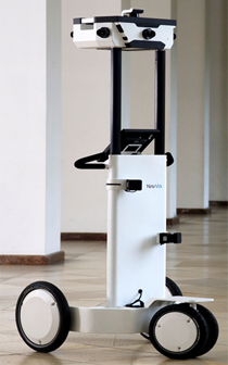
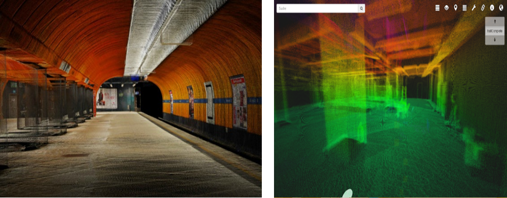
- MapmyIndia has specialized technology for capturing Indoor Maps. The instrument used for the purpose, captures the content in 360o panoramic and 3D point clouds.
- Capture Indoor environments with panoramic images and 3D point clouds.
- Indoor digitalization at scale – cut the cost per m² by factor 100
- Scan the environment with the integrated laser scanners in a range of 30 meters
- Create inch-perfect 3D environments
- Capture high resolution panoramic images for a brilliant visual quality
- Other parameters like Wi-Fi, Bluetooth, Magnetic field
Indoor Map Data Processing & Production
- Postproduction will transform the captured data into high quality 360° panoramic views. The data is processed by high performance servers and streamlined for further output formats. For publishing on the internet the captured data is once again edited, to ensure easy and intuitive handling via any conventional browser.
- Preparation of 2D & 3D Models
- Based on the captured point clouds MapmyIndia generates ground plans, views and sections, e.g. 1:100 scale in DGW, PDF and other CAD file formats.
- Based on the captured point clouds MapmyIndia also creates a 3D model. Users can export the 3D geometry to ArchiCAD, AutoCAD Architecture, BricsCAD, Revit etc.
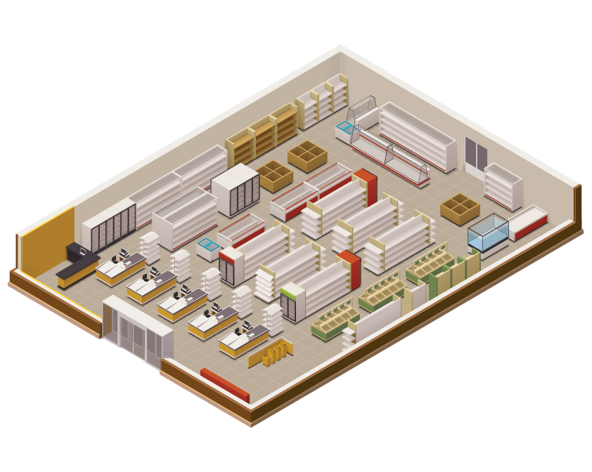
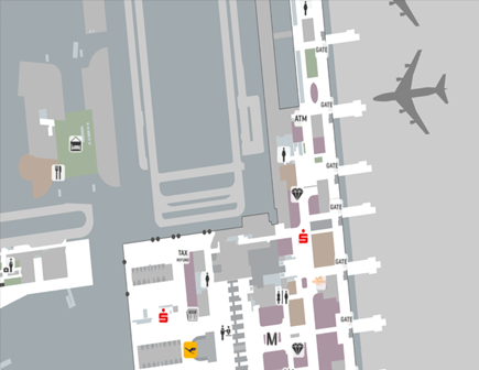
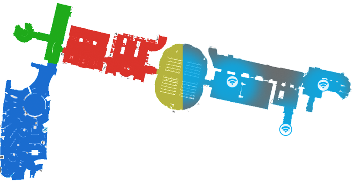
Sample Screenshots


Request Call Back
There's so much that Mappls MapmyIndia can do for your enterprise or individual requirements. Explore our website to learn more or request a callback/email if you'd like us to connect with you.
or