-
Products
Products
- Map and Data
Map and Data
-
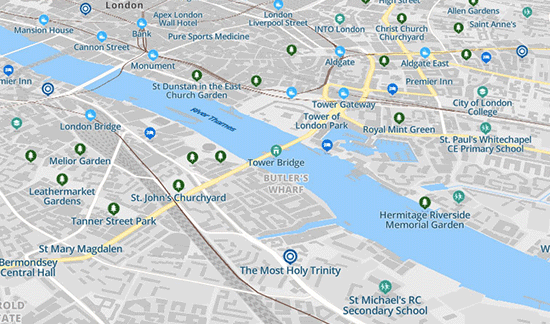
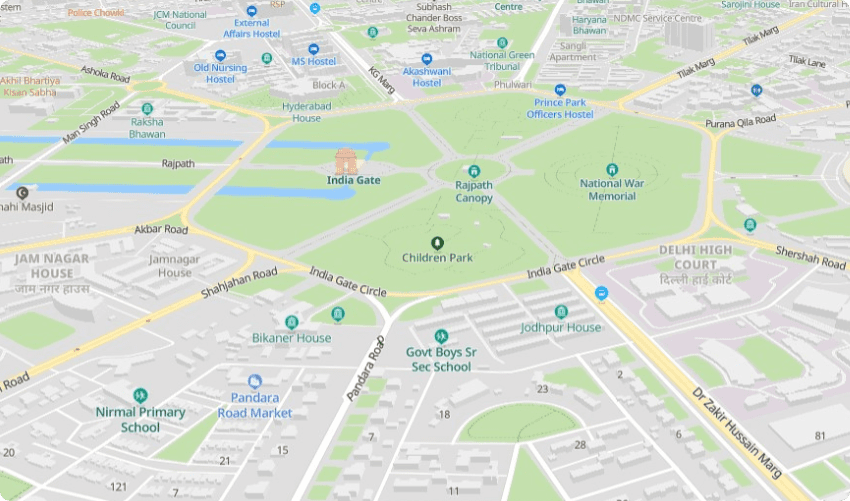
![]() Map
Data
Map
Data
Location data reflecting the real world
![]() Geo-demographic
Data
Geo-demographic
Data
Updated, reliable, industry data
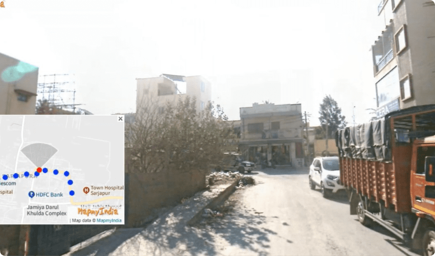
![]() RealView
RealView360° panoramic street images
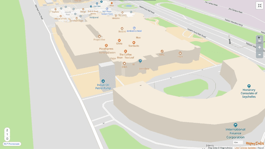
![]() Map Portal
Map Portal
India’s original internet mapping portal
![]() eLoc
eLoc
Doorstep digital address system
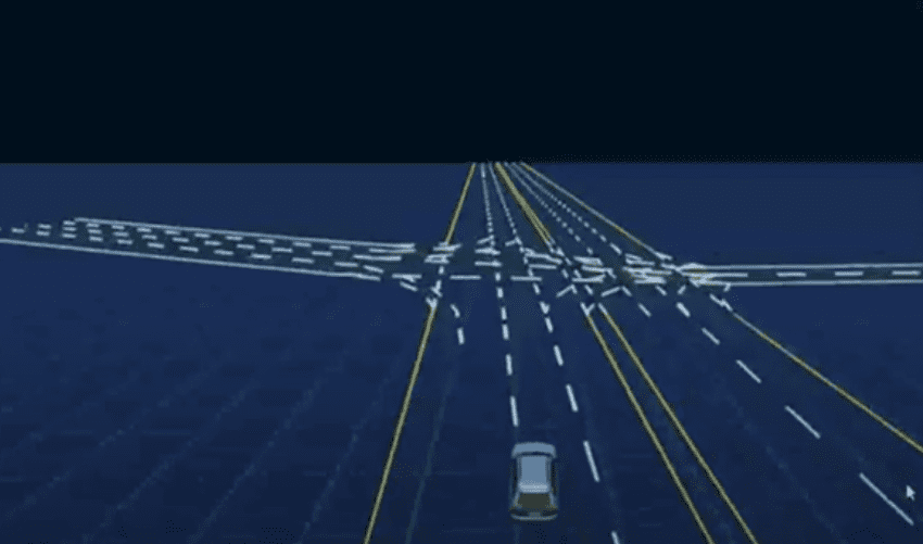
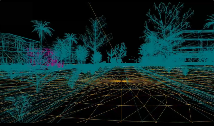
![]() HD Maps
HD Maps High precision 4D maps
![]() Metaverse 4D Maps
Metaverse 4D Maps Immersive maps reflecting the real-world
-
- APIs and SDKs
APIs and SDKs
-
![]() See all APIs
See all APIs 
Explore our entire suite of APIs & SDKs
![]() Maps
Maps
SDKs for maps and traffic
![]() Search & Geocoding
Search & Geocoding
APIs for search and discovery
-
![]() Routes & Navigation
Routes & Navigation
APIs to solve complex routing problems
-
![]() Navigation SDK
Navigation SDK
Connected embedded navigation
![]() Mobility & Tracking
Mobility & Tracking
SDK to enable live location in your apps
-
![]() Global APIs
Global APIs
Maps, search, routes for 238 nations
![]() Personalisation SDK
Personalisation SDK
Hyperlocal, personalised O2O marketing
-
![]() Optimisation APIs & SDKs
Optimisation APIs & SDKs
Route planning & optimisation
![]() GIS and Analytics APIs
GIS and Analytics APIs
GeoBI meets Location AI
![]() Workmate APIs
Workmate APIs
Field force automation APIs
![]() MapmyIndia Move URLs
MapmyIndia Move URLs
Embed maps, navigation in your apps
![]() NaviMaps SDK APIs
NaviMaps SDK APIs
Hybrid navgation for embedded systems
-
See all
APIs
![arrow]()
-
- GIS, Analytics and AI
- IoT and Automation
- Navigation and Mobility
Navigation and Mobility
![]() NCASE Automotive Suite
NCASE Automotive Suite
Intelligent mobility platform for PV, CV, EV
![]() Navimaps
Navimaps
Offline navigation maps and app
![]() Mappls App
Mappls App
Super app for maps, safety, and more
![]() Mappls Gadgets
Mappls Gadgets
GPS enabled IoT gadgets
-
![]() Navigation SDK
Navigation SDK
Connected embedded navigation
![]() Traffic AI (coming soon)
Traffic AI (coming soon)
Convert movement data to traffic analytics
- Drone Services
- Map and Data
- Solutions
- Consumer
- Developers
- Investors
India’s best 4D, Time and Space Maps
with the largest, most updated and
comprehensive coverage
Built to be the most accurate, using the most advanced
technologies of ML/AI, IoT and computer vision.
The world’s best in technology is
powered by MapmyIndia’s maps


Discover the world of maps and location
Maps are the most effective way to create, organise, record, communicate, visualise and analyse information about location and spatial characteristics. MapmyIndia’s rich mapping data library powers the creations of high quality, nationwide map datasets, using state-of-the-art mapping technology that captures, analyses and publishes the world in 3D and 360-degree photo-realistic clarity. This map-making process combines the most sophisticated, cutting-edge technologies and traditional, proven methods tailored to the needs of Indian geography.
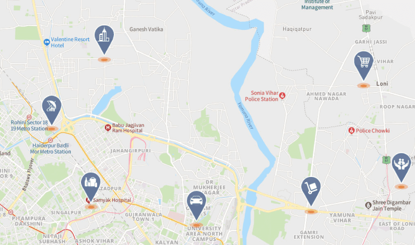
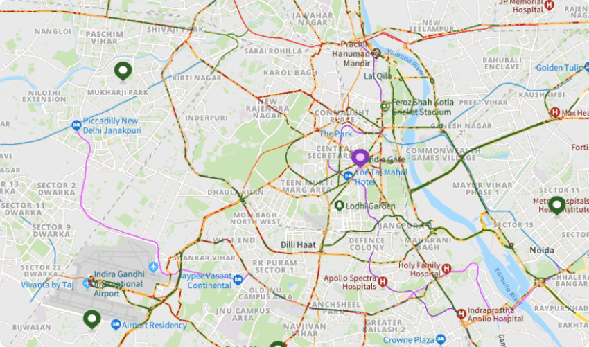
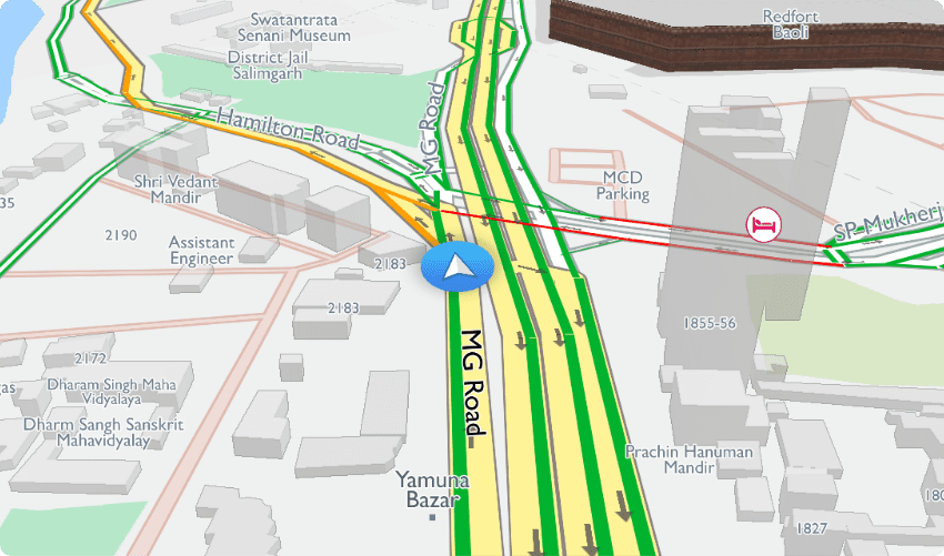
Live Maps
Traffic flows, traffic and safety reports, smartphone movement data, toll booth wait time
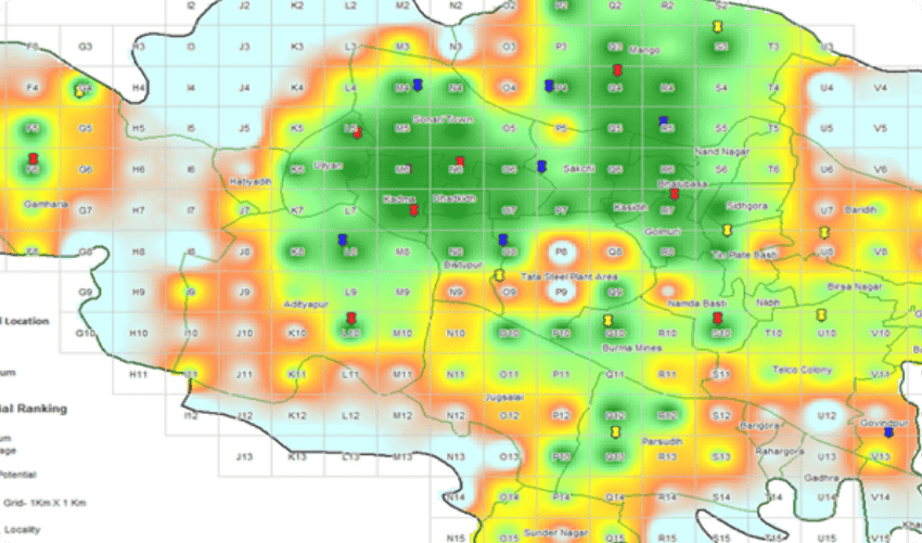
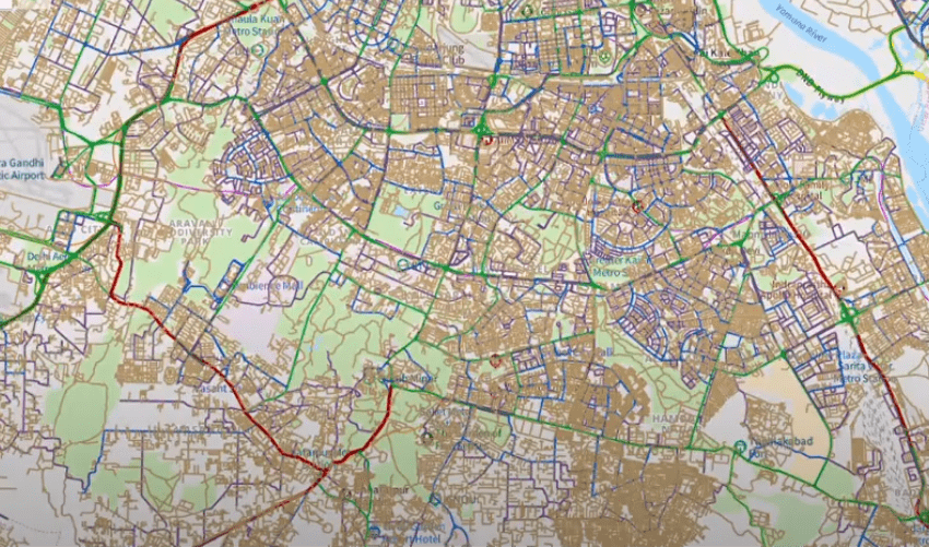
Location Intelligence and Geo-enriched Data
Predictive maps, affluence maps, rural potential index, GPS probes, awareness, socio-economic data, demographics, vehicle population, penetration, audience profiling, truck travel time, reliability index and many more derived datasets


There's so much that Mappls MapmyIndia can do for your enterprise or individual requirements. Explore our website to learn more or request a callback/email if you'd like us to connect with you.