-
Products
Products
- Map and Data
Map and Data
-
Map Data
Location data reflecting the real world
Geo-demographic Data
Updated, reliable, industry data
RealView
360° panoramic street images
Map Portal
India’s original internet mapping portal
eLoc
Doorstep digital address system
HD Maps
High precision 4D maps
Metaverse 4D Maps
Immersive maps reflecting the real-world
-
- APIs and SDKs
APIs and SDKs
-
See all APIs

Explore our entire suite of APIs & SDKs
Maps
SDKs for maps and traffic
Search & Geocoding
APIs for search and discovery
-
Routes & Navigation
APIs to solve complex routing problems
-
Navigation SDK
Connected embedded navigation
Mobility & Tracking
SDK to enable live location in your apps
-
Global APIs
Maps, search, routes for 238 nations
Personalisation SDK
Hyperlocal, personalised O2O marketing
-
Optimisation APIs & SDKs
Route planning & optimisation
GIS and Analytics APIs
GeoBI meets Location AI
Workmate APIs
Field force automation APIs
MapmyIndia Move URLs
Embed maps, navigation in your apps
NaviMaps SDK APIs
Hybrid navgation for embedded systems
-
See all
APIs
-
- GIS, Analytics and AI
- IoT and Automation
- Navigation and Mobility
Navigation and Mobility
NCASE Automotive Suite
Intelligent mobility platform for PV, CV, EV
Navimaps
Offline navigation maps and app
Mappls App
Super app for maps, safety, and more
Mappls Gadgets
GPS enabled IoT gadgets
-
Navigation SDK
Connected embedded navigation
Traffic AI (coming soon)
Convert movement data to traffic analytics
- Drone Services
- Map and Data
- Solutions
SolutionsBy Vertical
- Consumer
- Developers
- Company
- Resources
- Investors
Location + AI
Explore fast, simple and intuitive ways to solve complex
business needs through AI-enabled location intelligence.
Generate insights from your images through
AI-driven deep learning technology
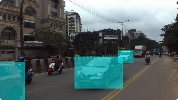
Street Image
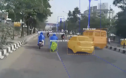
Realise the potential of fast data through detection, classification and segmentaton of objects from camera images into predefined categories.
Satellite Image
Create geospatial data and actionable insights from satellite images using pre-trained satellite image AI models and techniques.

How it works
Deep Learning Computer Vision algorithms are trained on locally developed labels, datasets to solve
for industry-specific use cases. MapmyIndia AI solution is connected to scalable backend APIs.
Classification
Identify the presence of an object in an image
Detection
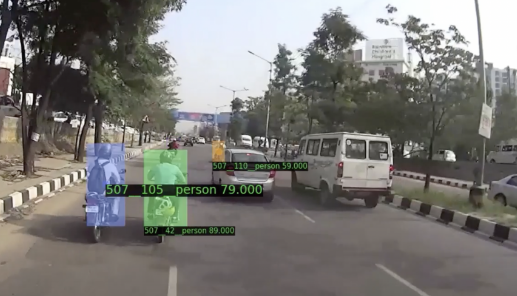
Identify and locate objects in an image within a bounding box
Segmentation
Identify and classify objects at pixel level
Use cases
AI-enabled solutions for complex business applications
-
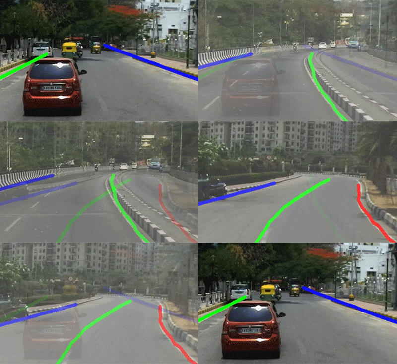
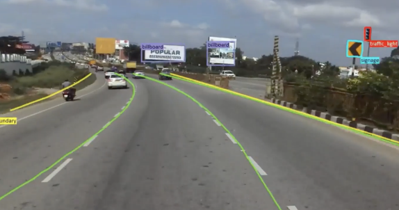
Road Border Detection
-
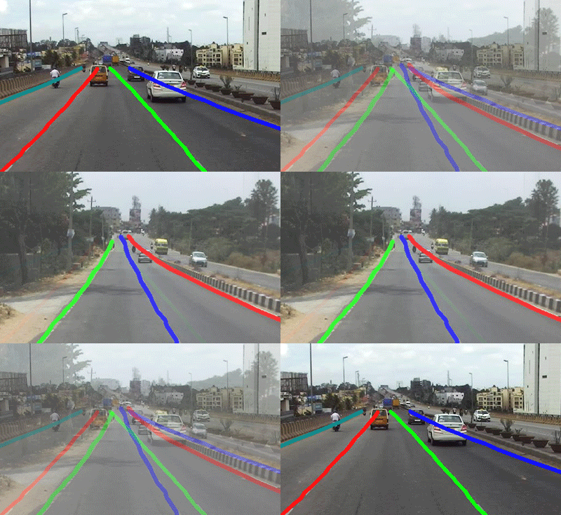
Road Lane Detection
-
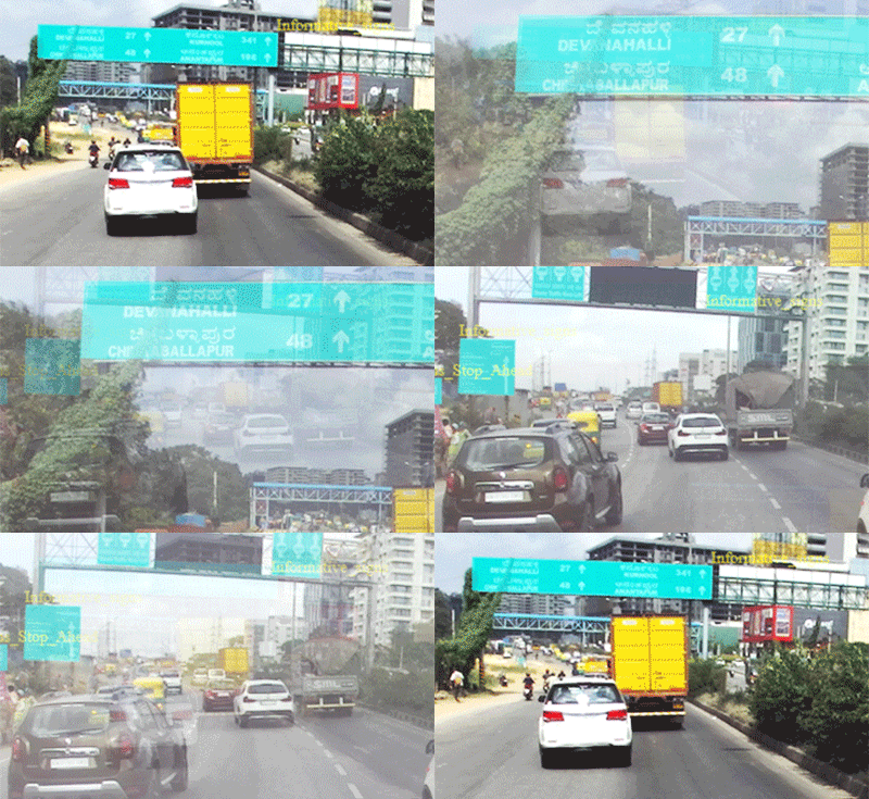
Signboard Detection
-
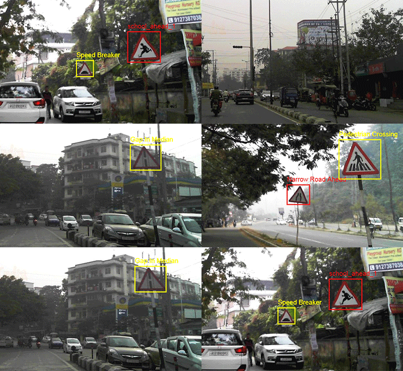
Traffic Sign Classification
-
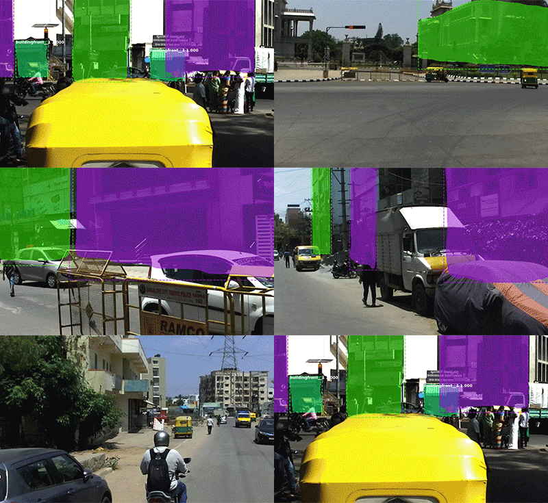
Building Facades
-
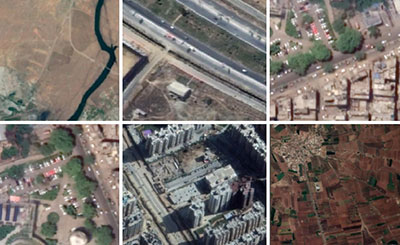
Landuse Classification
-
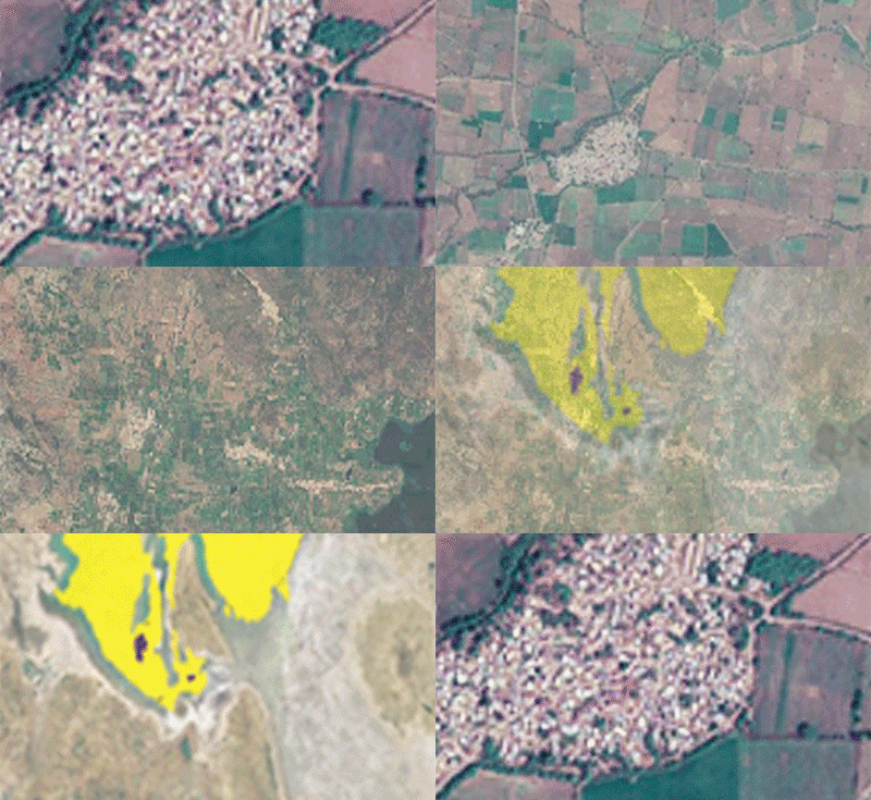
Landuse Segmentation
-
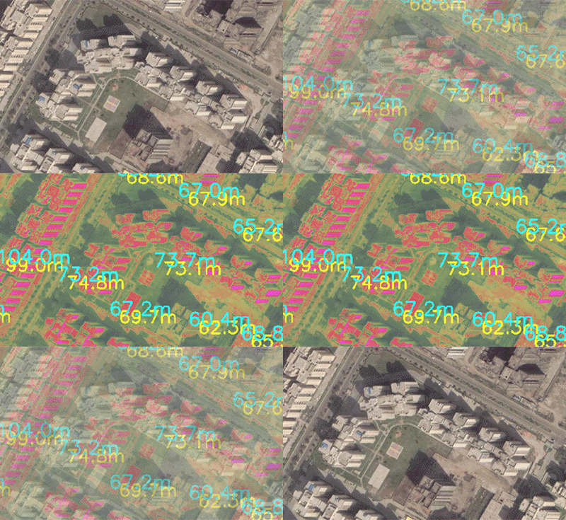
Building Height Estimation
-
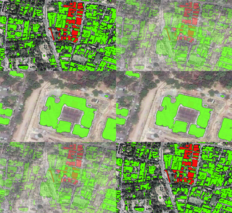
Building Segmentation
-

Face Detection
-
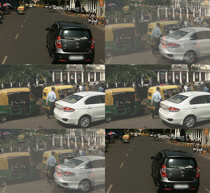
License Plate Detection
-
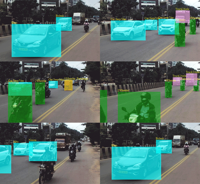
Vehicle Detection
See it in action
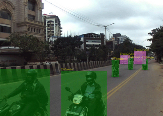
Data Annotation Services
Enable fast deployment and maintenance of your ML/AI projects at scale
AI models require large amounts of training data to generate human-like observations. Creating this training data is resource-heavy and intensive, and takes several hours of human-powered data annotation processes.
MapmyIndia enables faster and highly accurate annotation services using a balanced combination of human + smart tools for creating annotation datasets of various types - 2D and 3D bounding boxes, polygons, polylines, landmarks and semantic segmentation for images.
Powered by MapmyIndia ML/AI Engine
Scalable
Designed with scalable architecture to serve millions of users' needs with zero downtime
Localised
Trained on local geographical images to capture local features, nuances
Robust
Built on micro-services architecture enabling flexible, robust, modular implementations

There's so much that Mappls MapmyIndia can do for your enterprise or individual requirements. Explore our website to learn more or request a callback/email if you'd like us to connect with you.

